MapBusinessOnline newsletter – June 2018
Webinar Recording - Color Shading Points & Map Layers
Our webinar focused on the tools used to color-code points layers and color-shade map layers. But we also talked about business mapping as a subjective work - your work. As always, we greatly appreciate the time MBO users take to watch a webinar.
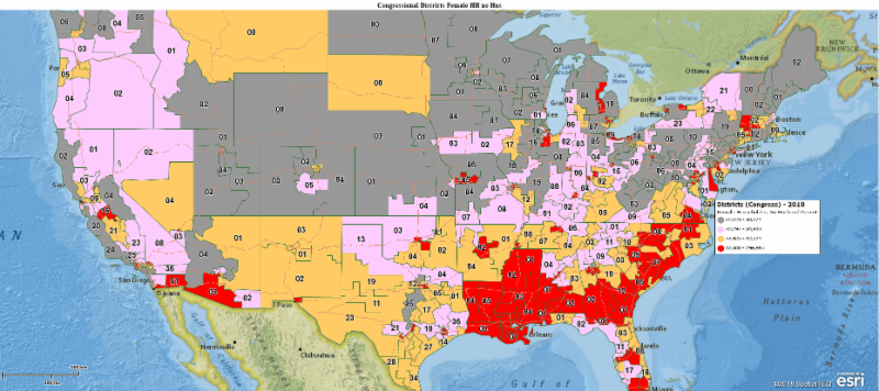
MBO Release 5.2 - Congressional Districts & More!
In June look for MapBusinessOnline 5.2 with the following enhancements:
- USA ZIP code updates including USPS changes and map layer corrections
- US Congressional Districts Premium Map Layer for annual and team subscribers
- Enhanced and improved MBO ZIP code territory filler process - faster and easier!
- 2018 demographic data projections from Geolytics
- 2018 updated school district map layers
- MBO now supports 4k screen resolution
MBO Tips & Tricks
Don't forget that MBO users can now access a lot of territory functionality simply by selecting the territory label. Select the label to access:
- Territory editing tools - add or delete segments
- Spatial search by territory (Binocular icon)
- Summary by territory for quick demographic spreadsheet exports
- Zoom to the selected territory view
- Edit territory properties like colors and labels
- And a delete button - Careful!
Read more about territories on our blog
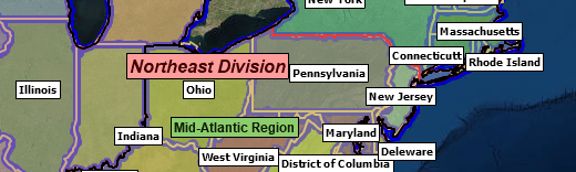
MBO Discussion - Maps as Contractual Attachments
Many businesses setup contractual agreements that include references to geographic areas of interest. Franchise territories and service contracts are great examples. MapBusinessOnline business maps provide excellent location-based documents defining areas of responsibility, territories, or operation jurisdictions. To save a map view as a PDF use the Print button options. Here's more information about PDF map generation.
MBO Feature of the Month - Transparency Scroll Bar
Please remember all map layers have an editable transparency scroll bar you can access through Map and Data. Simply hover over the layer in Map & Data, click Edit Layer Properties and under General, move that Trans Scroll Bar to achieve your desired level of transparency. The transparency tool allows overlays like ZIP codes to be transparent to varying degrees or simply opaque. This transparency control offers tremendous power over the look and feel of your business map.
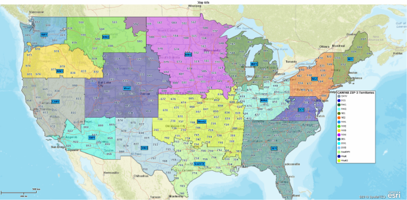
Territory map with transparent territories allowing the background map features to be seen


