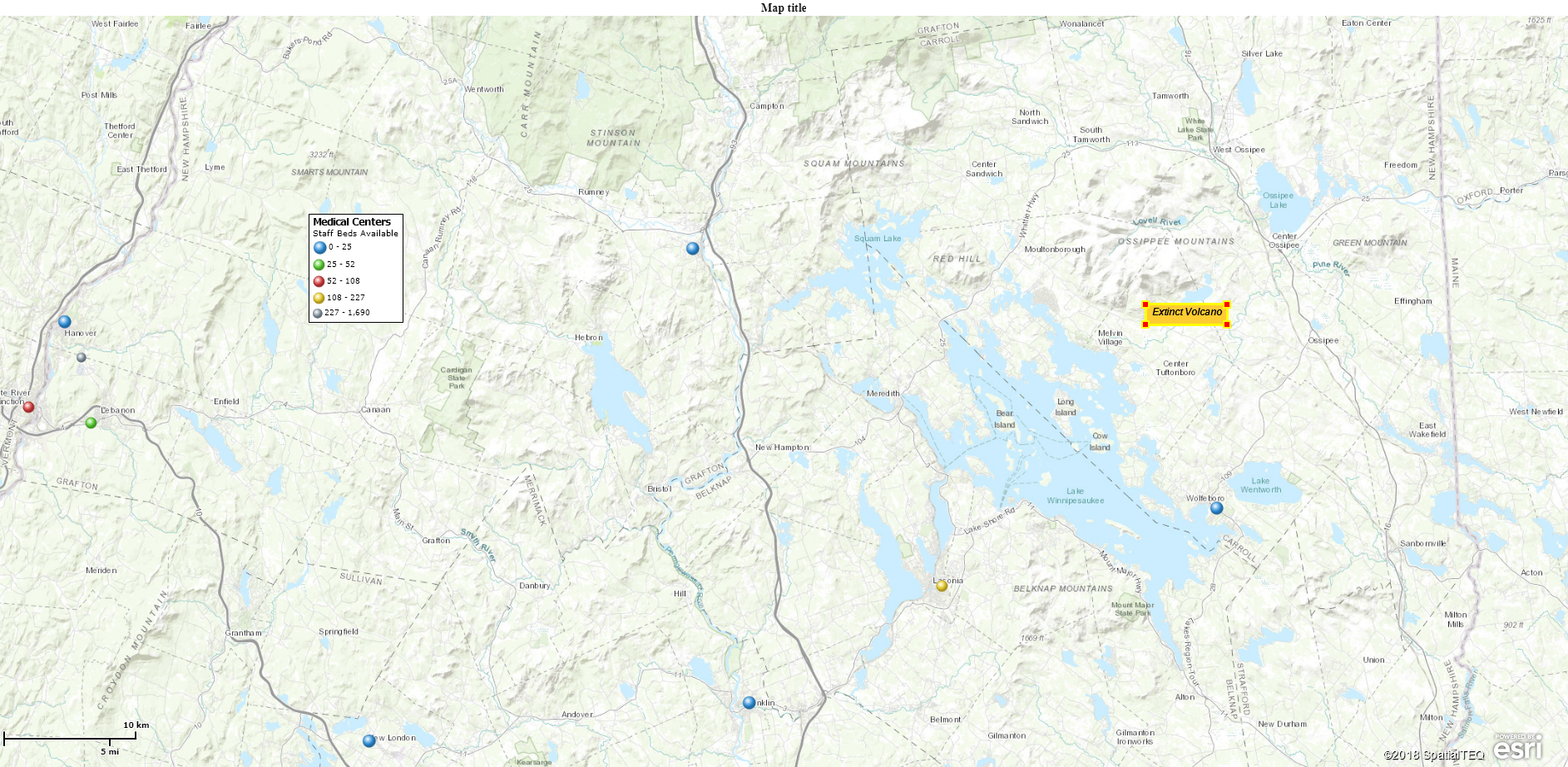
I recently ran into a friend who lives in rural Maine close by my home. In fact, visible across the valley in my backyard. Her home is on a hill, as is mine, and is surrounded by beautiful mountains. She wants to purchase a custom contour relief map that places her home at the center, so her husband can easily identify the various mountains visible from their porch in all directions.
I suggested she contact Summit Maps for a solution, but there are probably a few other companies creating such 3-D topographic relief maps.
One of the first things I did while exploring my friends requirement was to launch Map Business Online and view our area using the topographic map background options. I’m always struck by how compelling a topographic map view is when compared to our standard Streets map background option. It’s a reminder that business mapping software isn’t always just about business. Maps are fun.
The Map Background is Optional
There are two topographic map background layers in Map Business Online:
- Topographic – An Esri generated map that provides a wonderful layout with elevation data noted as well as the major mountains and hills in shaded relief, rivers and lakes, cities and towns, and key government-sponsored parks.
- National Geographic – Another topographical map with richer shades of green describing vegetative growth areas. This map background also offers shaded relief. The focus for textual detail is directed more at towns than mountains, but you’ll find major mountains listed.
Map Business Online’s Streets background data layer is much more road-centric. You will find some shaded relief on that view which displays land contours, but mountain data is largely left out, in favor of streets and towns. This is appropriate for a true business map.
Satellite imagery options are also included, but discerning topographic detail from a satellite map is difficult. The imagery data background is more useful for defining towns and rural areas based on vegetative growth. Satellite imagery is a nice background alternative when your goal is to highlight counties, ZIP codes or other map layers.
Remember, map creation is a subjective process. A business mapping tool like Map Business Online provides options so that you can make your map sing to your specific map audience. Suggested map applications for these optional map backgrounds:
- Standard Business Map displaying customer visualizations with some demographic data. Stick with Map Business Online Streets. Unless you always use the Streets background and you want to make this map different – then try the National Geographic option.
- Maps Describing Rural vs. Urban areas – Try either Map Business Online’s National Geographic map background or the satellite imagery offering. Both provide the eye with obvious distinguishing features identifying rural and urban areas.
- Recreational Maps – Try either the National Geographic or Topographic map backgrounds. Topography and land cover details help define areas for specific uses.
- Nationwide Jurisdiction Areas – MSA’s, county and city jurisdictions are sometimes more prominent over a satellite imagery map. Satellite map views are a nice change of pace over standard street map views for your map viewers.
- Research Maps – Especially maps with a focused map purpose, consider the National Geographic map background which offers a pleasant view of the USA, soft colors and unobtrusive landcover details. Also, try no map background at all. Both options allow your singular purpose to rule the map view.
- Political Maps – Remember to try the Map Business Online congressional districts layer. I’d suggest starting with no map background. Only add Streets or Topographic backgrounds if they add specific value to the map topic. Otherwise, the graphic content is distracting to your map viewer.
- Territory Maps – Use the Streets map for an audience of sales representatives. Consider topographic maps only if your business focus considers land use issues, mountain obstacles, or real estate transactions.
There really are many reasons for creating and sharing business maps. Digital maps provide unique perspectives on business, societal trends, or just plain areas of interest. Online business mapping software provides the tools that let you design and present compelling maps for your map audience. Use the background options in a manner that supports your map’s intent.
Win a $20 Gift Card! Refer a business associate to Map Business Online in exchange for a $20 Amazon Gift Card!
Find out why over 25,000 business users log into www.MapBusinessOnline.com for their business mapping software and advanced sales territory mapping solution. The best replacement for Microsoft MapPoint happens to be the most affordable.
Contact: Geoffrey Ives geoffives@spatialteq.com or Jason Henderson jhenderson@spatialteq.com

