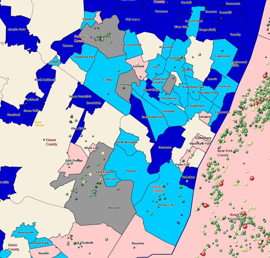
Sales, service, and franchise territory maps provide brick-and-mortar and cloud-based businesses with a geographic structure upon which to build a business. Using MapBusinessOnline, these territory areas are sometimes created from scratch by gathering ZIP codes or counties together using a polygon search tool as a lasso. When building territories, we refer to ZIP codes, counties, and states as Map Alignment Layers.
MapBusinessOnline territory map alignment layers include Census tracts, city limits, counties, MSA areas – even congressional districts. ZIP codes are the most popular territory alignment layer, but users regularly use counties and states.
Territory spreadsheets representing new business approaches can also be used to construct territories from map alignment layers. Once created, territory systems can be adjusted based on known demographic criteria such as population, household income, or the number of businesses in an area.

Map territory visualizations come in many shapes, colors, and sizes.
As mentioned above, MapBusinessOnline territory creation can occur by selecting individual ZIP codes or importing a spreadsheet that matches Zip codes to territory names. MapBusinessOnline Pro users can also create multiple territories from a set of radii or drive time searches, and in one pass, territories are born. Learn more.
The Choose Columns Database Manager
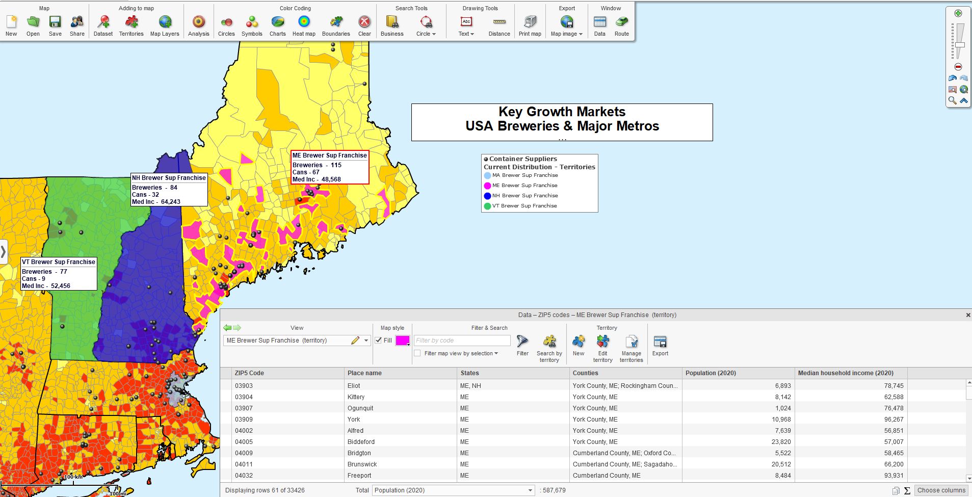
Once a territory is created, the MapBusinessOnline territory creator and map viewers will have access to a map visualization of the territory system and a tabular datasheet view of each territory in the Data Window. The Data Window includes a powerful yet simple database management tool called the Choose Column button.

A territory map visualization with tabular data for balancing.
Choose Column in the Data Window Territory tabular view provides access to imported data, imported business listings firmographics, demographic data, and geographic map layer options. The map creator can select and move data columns from these sources in and out of the territory analysis view. Learn more.
Balancing Territories
Territory managers often use Demographic, firmographics, and imported historical sales data to ‘balance’ territories. Balancing territories is a critical process for franchise businesses and sales territory management. In family life, we generally treat all God’s children the same. It is the same in sales and franchising, where sales representatives and franchisees seek to have roughly equal areas of opportunity.
Balancing territories is the process of equalizing competing territories so that all franchisee investors, field sales representatives, and even field service technicians are awarded similarly sized workloads, compensation programs, and groups of customers.
In the franchise business, a client franchisee purchases the franchise territory and then runs the business based on franchise rules. All franchisees work under the same guidelines and have, as close as possible, territories with equal geographic sizes and compensation metrics. In the real world, ‘identical’ is almost impossible, but MapBusinessOnline allows balancing territories to achieve relative equality.
We suggest franchisors give themselves some wiggle room by referencing margins of error in their contractual agreements. For instance, ‘each Florida territory for Dog Walker for Hire franchisees will service a population of up to 50,000 citizens within a drive time of 1 hour of a city center, +/- 5,000 people.’
A lack of wiggle room can create endless arguments around accuracy in tracking territory sales activity and franchise fees. Life just isn’t ‘dead on balls accurate’ in most arenas. Demographic data and firmographic data are estimates and, in many cases, algorithmic.
MapBusinessOnline Data Window
MapBusinessOnline Standard and Pro include territory balancing capability in the application’s Data Window view. The functionality is managed through the Choose Columns button in the lower right of the Data Window.
Choose Columns allows the map creator to access four types of data for balancing territories:
- Imported business sales data – A location-based Excel spreadsheet is usually imported into the map using the Add to Map – Datasets button.
- Demographic data – A comprehensive library of US Census data by category and segment.
- Calculated Data Columns – A MapBusinessOnline formula builder enables the summation of like columns – for example, Population Years 64 to 85 years and older.
- Business Listings Firmographics – Downloadable business listings with sales and employment information by business name or NAICS/SIC code.
MapBusinessOnline map creators select the data layers desired on the left side and move them to the right into their territory analysis. Learn more.
Balancing data appears in tabular format in each territory’s Data Window view. Users can view the total of each column at the bottom. For instance, Territory A may show a 157,201 total Male population count. A territory manager can then balance the territories by adjusting the component ZIP codes associated with each territory to balance out the sales potential.
Additional territory management features include:
- Export all ZIP codes segmented by territory. Learn more.
- Color-code territories based on a demographic category. Learn more.
- Create hierarchical territories, including divisions, regions, and zones. Learn more.
- Control territory overlaps through color highlighting. Learn more.
- Share territory files with applications that support KML import. Learn more.
Setting up your business with territory maps will organize your sales, service, or franchise business and keep your sales organization focused on the customer. It’s easy and affordable with MapBusinessOnline.com.
